Wisconsin wetland science workshops
A page within Wisconsin wetland science workshops
Professional Development Training
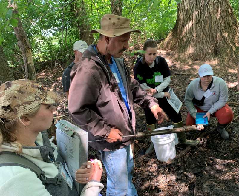
Wetland Delineation Workshop students in the field
![Wetland Delineation Workshop students in the field]()

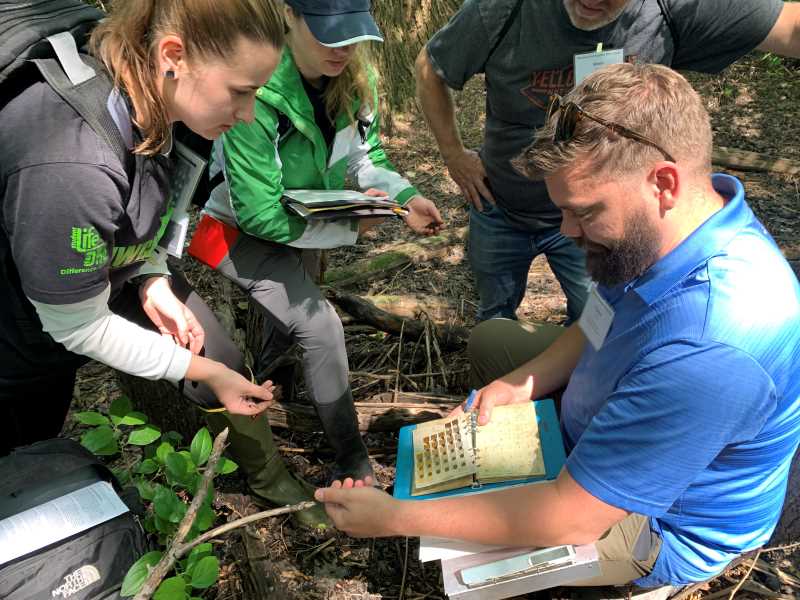
Student using a key to delineate in the field
![Student using a key to delineate in the field]()

Students doing wetland field work
![Students doing wetland field work]()

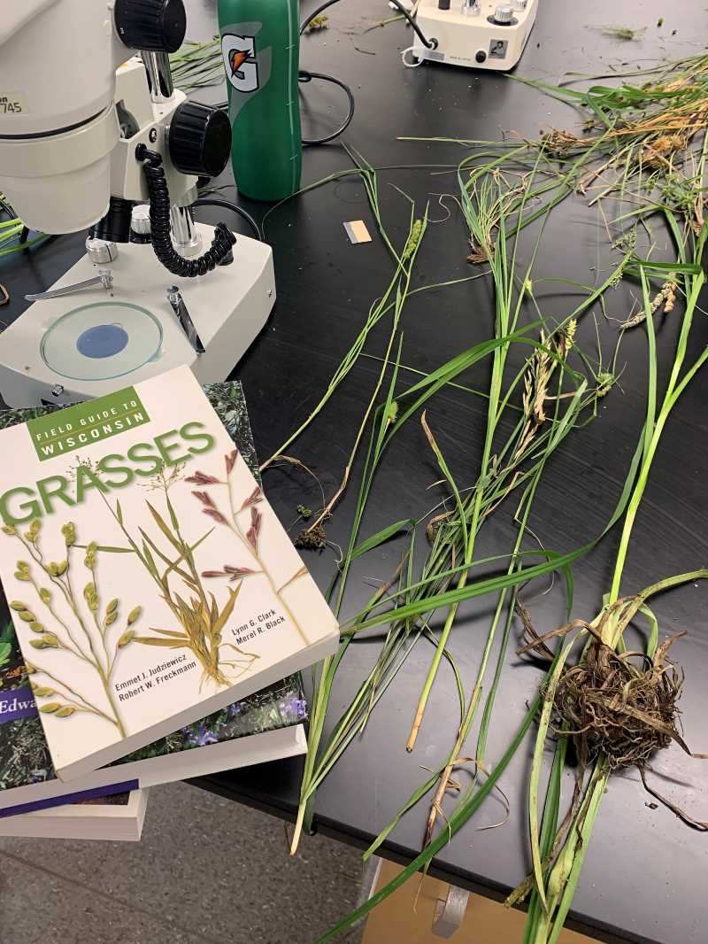
Instructor and students performing wetland plant identification
![Instructor and students performing wetland plant identification]()

General Information:
In the realm of development planning, precise wetland delineation, guided by local, state, and federal rules, is essential. UW-La Crosse's annual workshops, held statewide, focus on technical aspects of wetland delineation, led by seasoned experts.
These workshops cover scientific methodologies, regulatory updates, and ecological considerations, catering to both seasoned professionals and newcomers in Wisconsin.
Offering technical insights, the workshops contribute to a collective expertise, shaping informed decision-making in land development. Join this educational journey in La Crosse and across Wisconsin to enhance technical proficiency and deepen understanding of wetland significance in development.
Workshops are intended for:
- Engineers
- Planners
- Scientists
- Resource Managers
- Local and Tribal Officials
- Environmental Professionals
Sponsored by:
- UW-La Crosse River Studies Center
- UW-La Crosse Graduate & Extended Learning
In Cooperation with:
- State of Wisconsin Department of Administration - Wisconsin Coastal Management Program
- Southeastern Wisconsin Regional Planning Commission
- United States Geological Survey
- USDA-Natural Resources Conservation Service
- Wisconsin Department of Natural Resources
- U.S. Army Corps of Engineers