Site Snippets
Overhead – Site Mapping
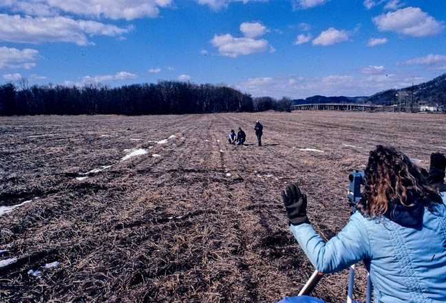 Site Mapping In the days before GPS and GIS, site mapping was done with surveying instruments such as transits or alidades, or tape measures. This 1980 photo shows a Kathy Stevenson and a UW-La Crosse crew setting up a grid over a large field, using a transit, tapes, stakes and string, and handheld radios. Measurements were carefully recorded in notebooks. Back in the lab, the site was mapped by hand on large pieces of graph paper. This Woodland and Oneota site, now developed, was south of the Highway 14/61 “overhead” at the south end of La Crosse.
at the University of Wisconsin-La Crosse
Contact us
- 1725 State Street
La Crosse, Wisconsin 54601 USA - Call 608.785.8463
- Email us