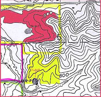
When artifacts are found on the surface, their locations are plotted, either on a sketch map or a USGS topographic map. Artifacts from each different location, such as the different knolls in a field, are mapped and put in separate bags.
New sites are reported to the State Historical Society, where there is a master database of all known sites. In Wisconsin, this database is computerized, and archaeologists can do a search on a parcel of land to find out if other sites have been reported from there.