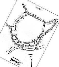
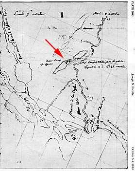
Sometimes references to sites are found on old maps made by the early explorers. Most of the time nothing can now be seen on the ground. Some interesting sites are identified in this way, and important information can be learned.
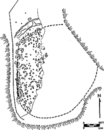
Sometimes references to sites are found on old maps made by the early explorers. Most of the time nothing can now be seen on the ground. Some interesting sites are identified in this way, and important information can be learned.
at the University of Wisconsin-La Crosse