Documentation
Mapping
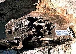
Careful excavation and mapping of features, knowing what was found with what, and where it was found, helps us to know what people were doing in the past. This provides the context of the artifacts.
A grid is established over the site, so that artifact locations can be plotted. A sketch map is created for each level of each unit or feature. Individual artifacts are also plotted where they form clusters or patterns.
Profiles
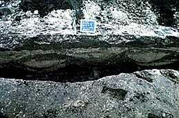
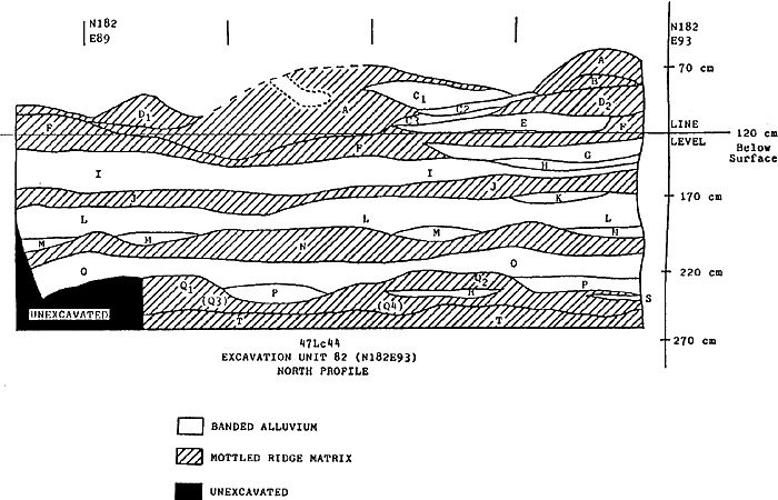
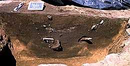
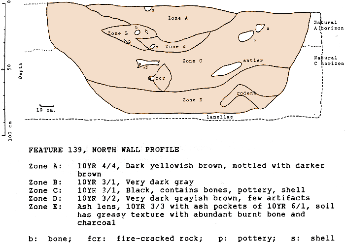
A site is like a layer cake, and the different layers represent different activities. Archaeologists must understand the vertical placement of artifacts in order to know what happened over time. Drawing the cross-section of a feature or unit allows these vertical zones to be recorded and interpreted.
Paperwork
Without a good record of what was done at a site, what was found, where it was found, and under what conditions, excavation is just destruction. Records are created for each site, unit, and feature. Tags identify all artifacts. Photographic records, surveying records, and a wealth of other documents are created. These records are critical to the project, and are kept on file permanently.
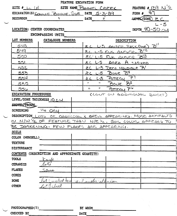
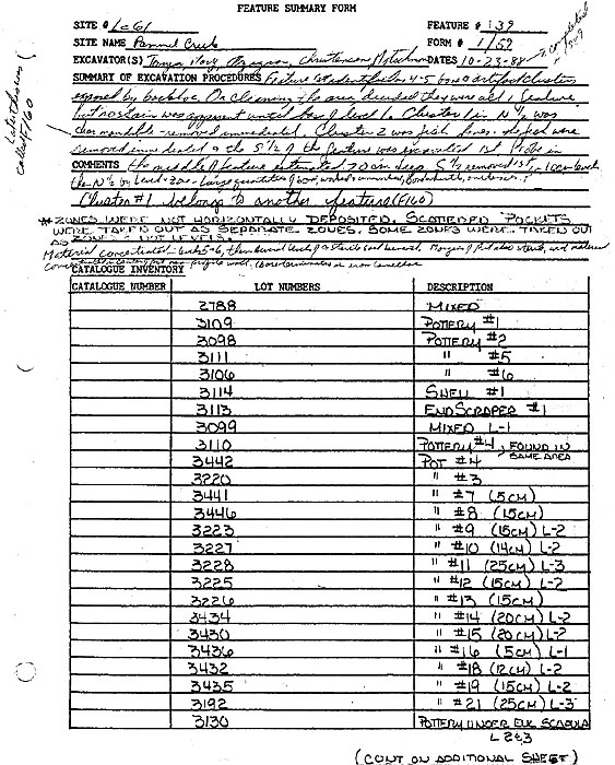
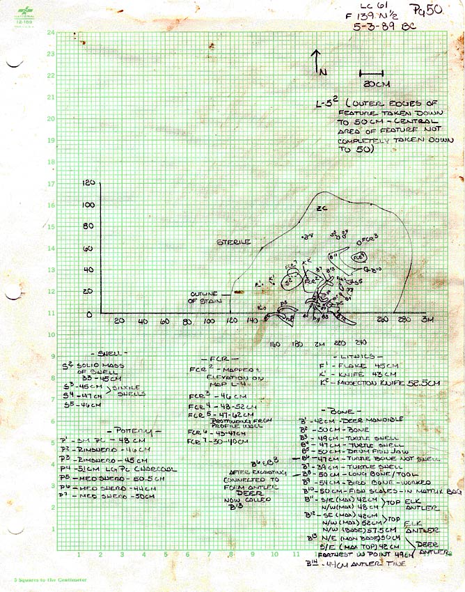
Sample feature level excavation form and summary feature form. These document level 5 of Feature 139 at the Pammel Creek site.
at the University of Wisconsin-La Crosse
Contact us
- 1725 State Street
La Crosse, Wisconsin 54601 USA - Call 608.785.8463
- Email us