Posted 7:33 a.m. Friday, Aug. 21, 2026
New computing power accelerates UWL environmental research
Across the globe, forests are changing.
Wildfires are becoming more frequent, mature trees are dying in floodplain forests, cities continue to expand, and temperatures are rising. Scientists can see these changes happening, but understanding exactly how landscapes are responding requires enormous amounts of data — and computing power capable of processing and analyzing it.
That is where Google has stepped in to help scientists like UW-La Crosse's Niti Mishra.
Mishra, a professor of Geography & Environmental Science, has been awarded expanded access to Google Earth Engine, Google's cloud-based geospatial computing platform. The award gives Mishra and his student researchers access to the platform's highest-capacity noncommercial Partner Tier, allowing them to analyze massive drone, satellite and climate datasets that would overwhelm a traditional desktop computer.
The expanded access supports Mishra's research into how forests are changing over time, both around the world and here in the Driftless Region’s floodplain forests and blufflands.
"Now that we have this access, I can start thinking about projects that simply weren't possible before," he says.
Measuring Earth’s forests in 3D
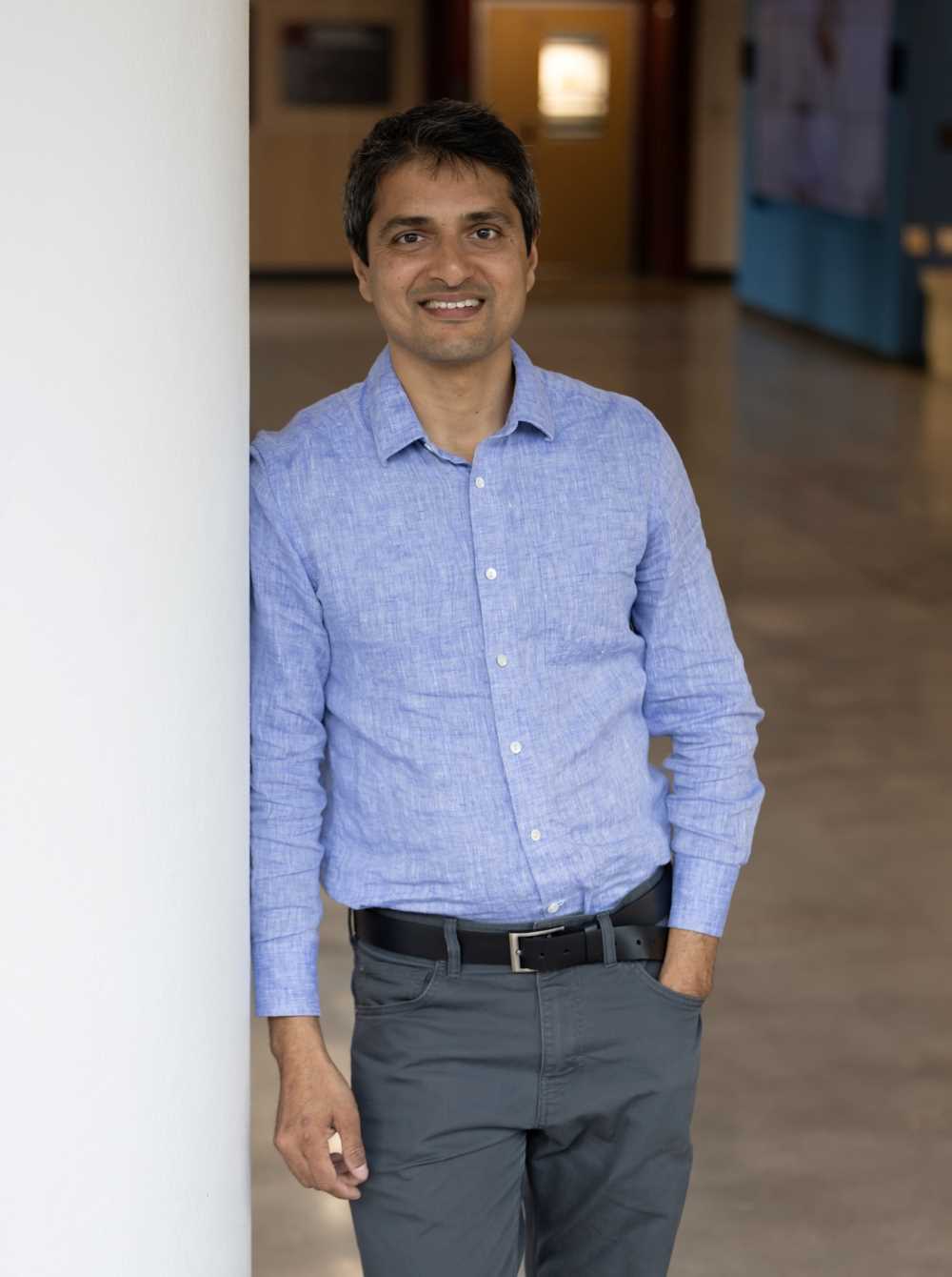
Mishra studies forests using a combination of ground observations, drone-mounted LiDAR and satellite observations.
While researchers can collect extremely detailed measurements on the ground or with drones, those methods cover relatively small areas. Spaceborne observations can extend scientists' view across much larger regions, but researchers still need to test how accurately those measurements represent conditions on the ground.
One of the most promising sources of data right now comes from NASA's Global Ecosystem Dynamics Investigation (GEDI), a LiDAR instrument aboard the International Space Station that uses laser pulses to measure the three-dimensional structure of Earth's forests. While GEDI’s launch was a game changer for the creation of high-quality global data, Mishra says measurements collected from the International Space Station, more than 200 miles above Earth, still need to be validated against detailed measurements collected closer to ground. Then, scientists can feel confident that GEDI is observing real-world forest conditions and ultimately that will help them better detect and help solve environmental problems.
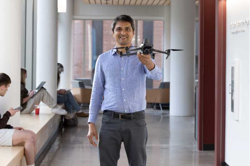
Mishra and his student researchers are using highly detailed drone-mounted LiDAR, which can measure within just a few centimeters of accuracy, to evaluate GEDI observations across forests of the Driftless Region. By understanding where space-based measurements perform well—and where they have limitations—the team can use them more confidently to study forest structure and environmental change across regions far larger than drones alone could cover.
"I like to say we are checking NASA's homework," jokes Finn Patenaude, a senior who has worked with Mishra on the research all summer.
Patenaude, a senior majoring in Geography with a GIS concentration, and Anna Neuenfeldt, a senior majoring in Environmental Science, helped lead the GEDI validation effort through their research as part of UWL’s College of Science & Health Dean's Distinguished Fellowship program.
Neuenfeldt mapped bluffland forests, studying whether steep slopes and topography influence the accuracy of satellite measurements. Patenaude focused on floodplain forests, analyzing characteristics such as vegetation density and moisture.
The students learned to fly drones, collect LiDAR data and process their own datasets before comparing them with NASA's GEDI observations.
"Our research is a lot of double-checking and finding errors," says Patenaude. "At first, I thought we weren't really discovering anything new, but now I understand that verification is just as important. It has given me a greater appreciation for science in general."
Both students say the experience allowed them to take classroom knowledge much further. Their research showed them the importance of accuracy in data reporting and the consequences when errors go un-checked, solidifying the importance the scientific method.
"In class we flew the drone together and everyone processed the same dataset," says Neuenfeldt, reflecting on an Unmanned Aerial Systems course she took. "This has been more fulfilling because I presented my own results from this research. It's not just about learning how to use the technology—the application is much bigger."
Patenaude says while he was originally intimidated to start this geospatial research, that faded as he continued with the DDF program.
“With the community structure of the Dean’s Distinguished Fellowship, we meet every week and seeing other students work was so inspiring,” he says. “It kept you invested in your own research.”
Firing up Google’s Earth Engine
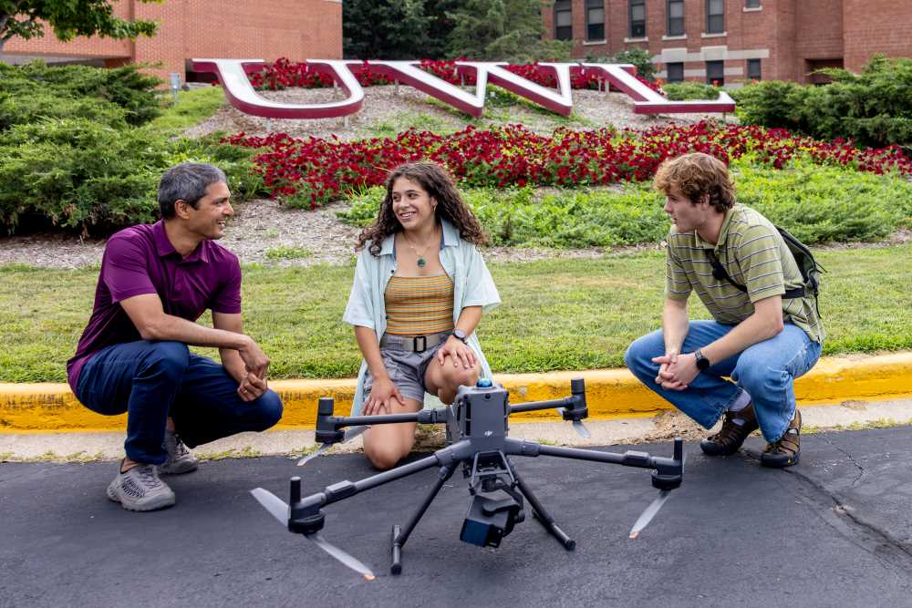
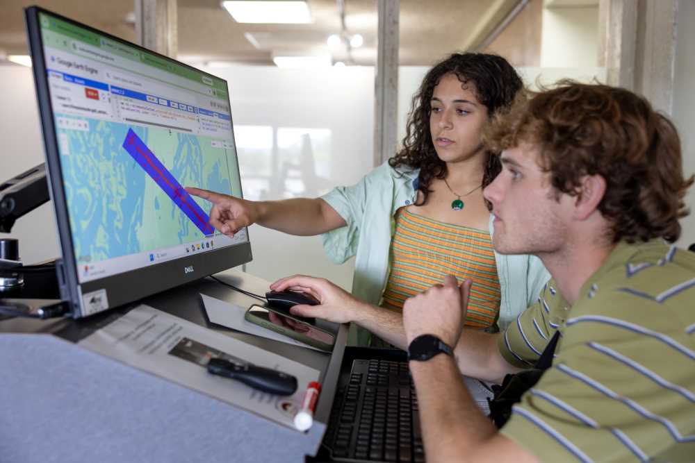
Mishra’s research has long depended on Google Earth Engine, a cloud-based platform available free for academic research. It allows researchers to analyze massive geospatial datasets using Google's computing infrastructure rather than relying solely on local computers.
Cloud computing power at this scale is necessary when you consider that every drone flight produces highly detailed three-dimensional LiDAR data, which is analyzed in combination with satellite imagery, climate records and other environmental datasets collected over decades. It all quickly grows to terabytes of information—far beyond what most personal computers can efficiently process.
Mishra says Google's platform has democratized access to large-scale computing by allowing researchers with only a computer and internet connection to work with some of the world's largest environmental datasets.
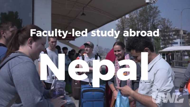
Over the past two years, Mishra and students have used Google Earth Engine to study mountain forests in Nepal's Annapurna Conservation Area and compare drone-collected LiDAR data with NASA's GEDI observations.
As the team's research has expanded to include research from Patenaude and Neuenfeldt, so has its computing needs. Mishra submitted a proposal to Google requesting additional computing resources and the proposal was approved, providing up to 100,000 hours of cloud-based geospatial computing each month—an in-kind research sponsorship valued at as much as $40,000 per month, he explains.
The expanded capacity will allow Mishra to analyze larger regions of the Earth, answer bigger environmental questions and incorporate more years of data.
And it will allow him to give more students researchers the ability to learn how to use some of the most cutting-edge technology for their futures.
“I learned little bits from every part of this research,” says Patenaude. “And I feel ready to apply to graduate school in wildlife biology, which is gravitating toward using a lot of GIS, drones and spatial technology. I didn’t feel that ready for that next step when I started doing this research, so I am so thankful for Dr. Mishra’s guidance and for sharing his original work with us.”
TEDxUWLaCrosse talk to feature Mishra's research
Mishra will demonstrate how drones can reveal subtle environmental changes during a TEDxUWLaCrosse event Oct. 1. Learn more and reserve your spot on the TEDxUWLaCrosse webpage.